

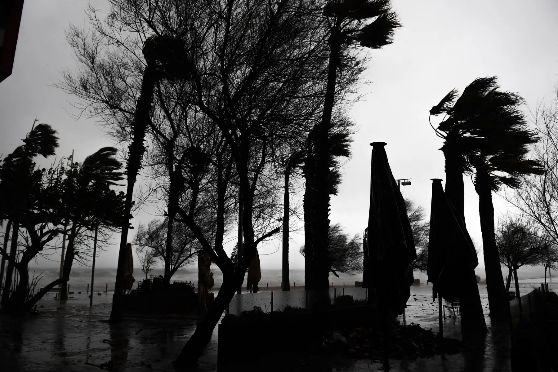
Spanish meteorologists are warning that this summer’s weather conditions are similar to those recorded prior to the devastating 2024 Valencia floods, increasing the likelihood of heavy, sudden rainfall this autumn in Spain.
What are the weather predictions for Spain this autumn? Could there be intense rain storms and flooding like in previous years?
After such a scorching summer with intense heatwaves that seemed never-ending and some of the worst wildfires the country has ever seen, attentions are now turning to the autumn and what the weather will be like then.
Recent autumns have seen a lot of rain, storms, flash flooding and even horrific widespread flooding, loss of life and catastrophic damage as a result of the DANA storm that devastated the Valencia region in 2024.
READ ALSO: What exactly in Spain’s DANA weather phenomenon?
There are fears of these types of weather patterns repeating themselves this year, but what is the likelihood of this actually happening?
We look at what the experts are predicting and what they believe will happen this autumn.
In large areas of the Mediterranean, from Spain over Italy, the water temperature has far exceeded average values this summer, reaching around 30C.
This gives rise to intense evaporation and allows air masses over the sea to accumulate large amounts of moisture and energy.
According to Spanish meteorologist Mario Picazo, as the Mediterranean area warms, it essentially results an atmosphere with higher water vapour content, which gives rise to more intense rainfall.
It also means more storms. This is because in autumn, cold air begins to reach the upper layers of the atmosphere while the Mediterranean remains very warm. This strong contrast brings about instability and can fuel very intense storms.
Data from the Spanish State Meteorological Agency (AEMET) and the World Meteorological Organisation seems to support this theory, revealing that the sea temperature of the Mediterranean throughout this year is predicted to be a full 3C above the historical average, even around 5 to 6C more near Spain.
As a result, the areas along the Mediterranean coast could be affected more intensely, such as Valencia, Murcia, Catalonia and the Balearic Islands.
This doesn’t necessarily mean that storms as bad as the ones in Valencia two years ago will happen though, just that the conditions this summer mean that they’re more likely.
Meteorologist from El Tiempo.es Mar Gómez explains saying “An abnormal sea temperature doesn’t automatically imply torrential rain this autumn.
Atmospheric conditions are fundamental for these episodes to occur: the arrival and position of the DANA (isolated high-altitude depression), wind circulation, instability and moisture in the air”.
This means that it is only likely when all these conditions come together at the right time.
At the moment, experts don’t know if or when the rain might occur and for now, it’s impossible to predict.
Generally, we know though that autumn is a wetter time in Spain and rain is normal for this time of year; we just don’t know yet how much there will be or if it will follow the same patterns has what happened previously.
What we do know, however, is that there has already been flash flooding recently. In mid-August in the village of Manzanedo de Valdueza in Castilla y León, flash flooding caused landslides which killed two people. There were also more storms in the northeast.
Mallorcans were also on high alert last week as a big storm hit the Balearic Islands.
In Catalonia, 11 people were injured this weekend as a result of heavy rain.
READ ALSO: Heavy rain lashes northeast Spain, injuring 11
Over in Italy, there has also already been torrential rain and intense flooding in certain areas. In Lombardy, torrential rain forced the evacuation of 350 people recently and other areas were also affected.
