

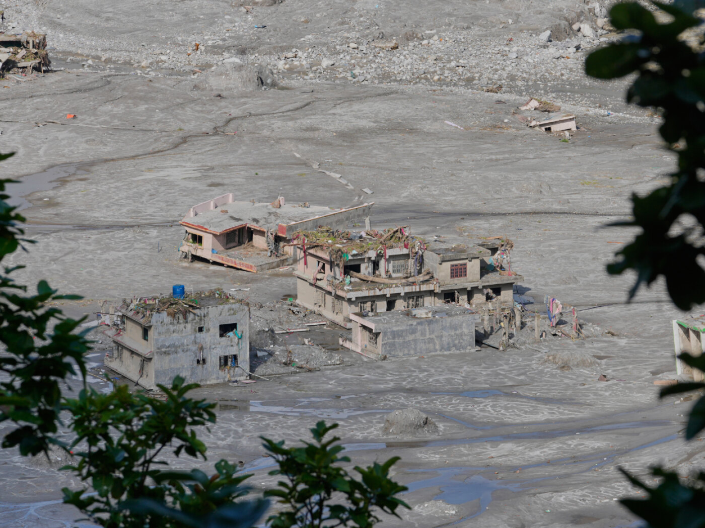
The deluge, triggered by the collapse of a glacier, has killed nearly 1,400 people in Nepal and Tibet.
Keystone-SDA
Nearly three weeks after devastating floods struck Nepal and Tibet, Swiss engineer Eric Bardou says conditions on the ground remain challenging and calls for a better understanding of such events to help prevent future disasters.
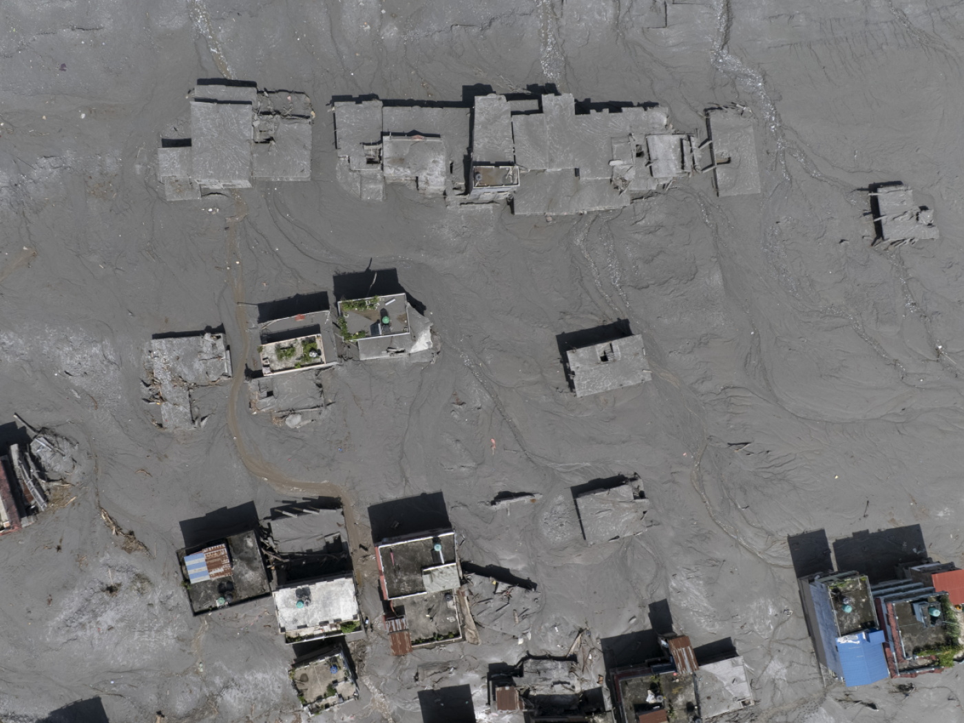
“You could say it almost feels like an earthquake,” said Eric Bardou, a member of the Swiss Humanitarian Aid Unit (SHA), in a telephone call to the Keystone-ATS news agency from Kathmandu on Saturday. On the ground he saw buildings destroyed or displaced by the force of the wave, some of which appeared to have been pushed sideways.
The 57-year-old engineer, who specialises in geotechnical engineering, hydrology and mountain risks, was sent to Nepal by Switzerland on September 5. He was integrated into the mission of the United Nations Office for the Co-ordination of Humanitarian Affairs (OCHA), where his role involved assessing risks related to water and terrain.
On his arrival, two lakes that had formed as a result of landslides raised fears of a new wave. “They drained on their own, but it is the sort of situation that still needed to be monitored,” he explained. The teams had to set up observation points and adjust their movements to ensure they were not caught off guard by a new rise in water levels.
Preserving evidence
The Swiss expert, who is soon returning from Nepal, highlights another, less visible urgency: preserving the traces of the disaster before they disappear.
“If we don’t do it now, we will never be able to understand what happened,” he stresses. But behind these traces lies, above all, a human tragedy.
Bardou said he was deeply moved seeing people wandering along the riverbanks, searching for missing relatives or for items that might be salvaged from the rubble. International organisations on the ground are meanwhile focused on trying to rescue those still alive beneath the rubble.
More

More
Switzerland sends more aid funding, experts to Nepal
The hope to be able to document the disaster, however, is confronted with a fundamental difficulty: estimates vary widely depending on the methods used, particularly concerning the volume of collapsed material.
“The volume swept downstream is estimated at between 100 and almost 300 million cubic metres,” Bardou explains. He claims to have seen various estimates and is unable to determine which is the most reliable, especially as he has been unable to access the area where the deluge began.
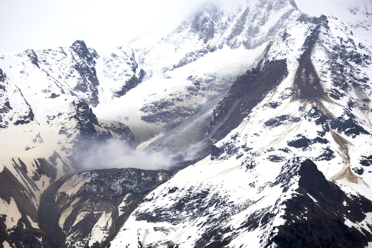
On August 26, rock and ice broke away at an altitude of approximately 5,200 metres on the north face of the Langtang Lirung massif. Debris quickly descended downstream along the Lhende Khola river valley, situated some 20 kilometres upstream of the Gyirong/Rasuwagadhi border pass, completely obliterating the Sino-Nepalese border at that point. The deluge killed nearly 1,400 people in Nepal and Tibet.
More
More
Himalayan flood sparks concern among Nepalese and Tibetans in Switzerland
Another unknown factor is the exact composition of the mass that poured down the valley. The traces observed downstream indicate a particularly fluid flow containing vast volumes of water and boulders, some of which were several metres in diameter.
‘Fluid’ torrential debris flow
By comparing marks left on trees and buildings with the deposits on the ground, Bardou estimates that 80% of the mass consisted of water.
The disaster has also left behind a considerable amount of sediment and caused heavy erosion. Some bodies have been found downstream as far as India, at a distance of between 150 and 240 kilometres, demonstrating the enormous power.
Bardou says the challenge is to better understand the mechanisms behind this disaster rather than settling for a simple explanation linked to climate change. “To say that it’s hot, that the ice is melting and that everything is collapsing is a bit too simplistic,” he said.
More
More
Why do Swiss mountains collapse? It’s complicated
Climate change can cause rapid transformations to which the mountains must adapt, he said. Permafrost, which acts like a cement holding certain rocks and soil together, may play a special role. But he says he’s not totally satisfied with this as the sole explanation. Society needs to determine exactly what happened in order to identify and prevent such events, he adds.
Prevention is difficult
Prevention measures, however, are hampered by the sheer scale of the Himalayas: 600,000 km² compared with the 25,000 km² of the Swiss Alps. “The scale radically changes the situation,” he said.
In Switzerland, the large number of observers, guides, engineers and sensors makes it easier to detect mountain movements and changes.
In Nepal, institutions and specialists have been working on glaciers and mountain risks for some time. But even with satellite images showing a possible acceleration in an area prior to the event, you still needs to know where to look among the vast amounts of data, says the Valais native.
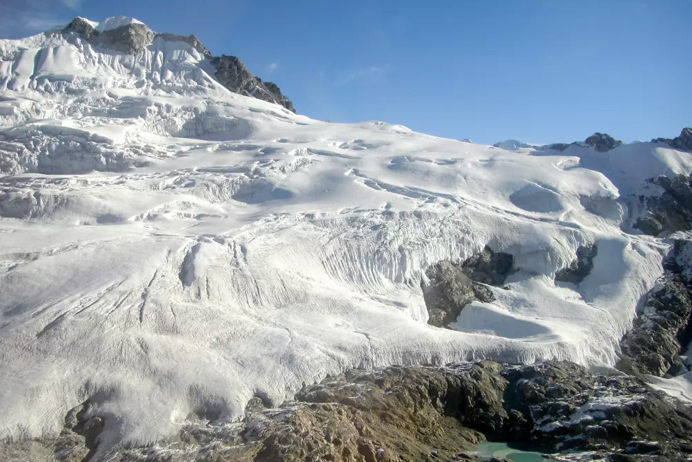
The glacier at the root of the disaster is now a central focus. Until then, the priority had been to rescue those who could still be saved.
More
More
Nepal and the Himalayas, the agony of glaciers on the roof of the world
+ How we produce news in English
Translated from Italian, reviewed by an English Department journalist.
