


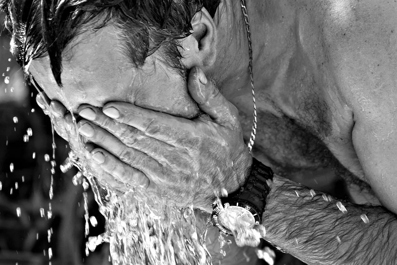
Brace yourself for more of sweltering weather over the next days, as Switzerland’s heatwave settles in for a longer stretch.
The good news is that temperatures over the coming days will not reach Basel’s June record-breaker of 39C.
However, according to the latest bulletin from MeteoSwiss weather service, temps of up to 35C are forecast, as the current heatwave is expected to continue north of the Alps at least until Thursday, July 16th and south of the Alps, at least until Friday, July 17th.
Alert Level 3 (‘Considerable Danger’) of heatwave is currently in effect in many parts of the country.
This means that “there is a significant risk of circulatory problems and physical discomfort.”
Higher alert level next week
At the start of next week, however, this level could be raised to 4 (‘High Danger’) for certain regions.
It signifies that “for at least three consecutive days, there is no cooling of the daytime heat, even at night. During this heatwave, there is a severe risk of circulatory problems and physical discomfort.”
You can see the weather forecast for the next eight days in your area.
What about rain?
With the current drought manifesting itself “in the levels and flows of major lakes and rivers, which are sometimes reaching historically low levels for this time of year, as well as in the historically low filling rates of reservoirs across Switzerland,” that is a pertinent question.
MeteoSwiss said that thunderstorms are possible on Friday afternoon and Saturday, morning particularly in the lake Geneva region, Valais, the Bernese Oberland, and on the southern side of the Alps.
However, not enough sustained rainfall is expected to counteract the current drought or the risk of forest fires:
READ MORE: What you need to know about wildfire risks in Switzerland this summer


