


Switzerland has suffered a number of landslides
Keystone / Samuel Golay
Researchers at the Swiss federal institute of technology ETH Zurich are testing a radar drone to accurately measure and predict landslides before they happen.
The permafrost is thawing, which means monitoring the Alpine region to predict landslides and rockfalls has become increasingly important. To ensure forecasts are as accurate as possible, ETH Zurich researchers are testing a radar-equipped drone for the first time.
A large drone takes off in the Lötschental valley in Valais and then flies over the Oigschtchummun glacier above Blatten. Attached to the bottom of the drone is a radar device that scans the terrain using electromagnetic waves.
In this way, they want to measure the glacier’s movement, says Felix Seidel, managing director of the Swiss Geolab. “If we measure the glacier again 20 minutes later, we already see a very small difference,” he said. This means that the glacier has moved during this time, and the researchers can measure this movement.
More
More
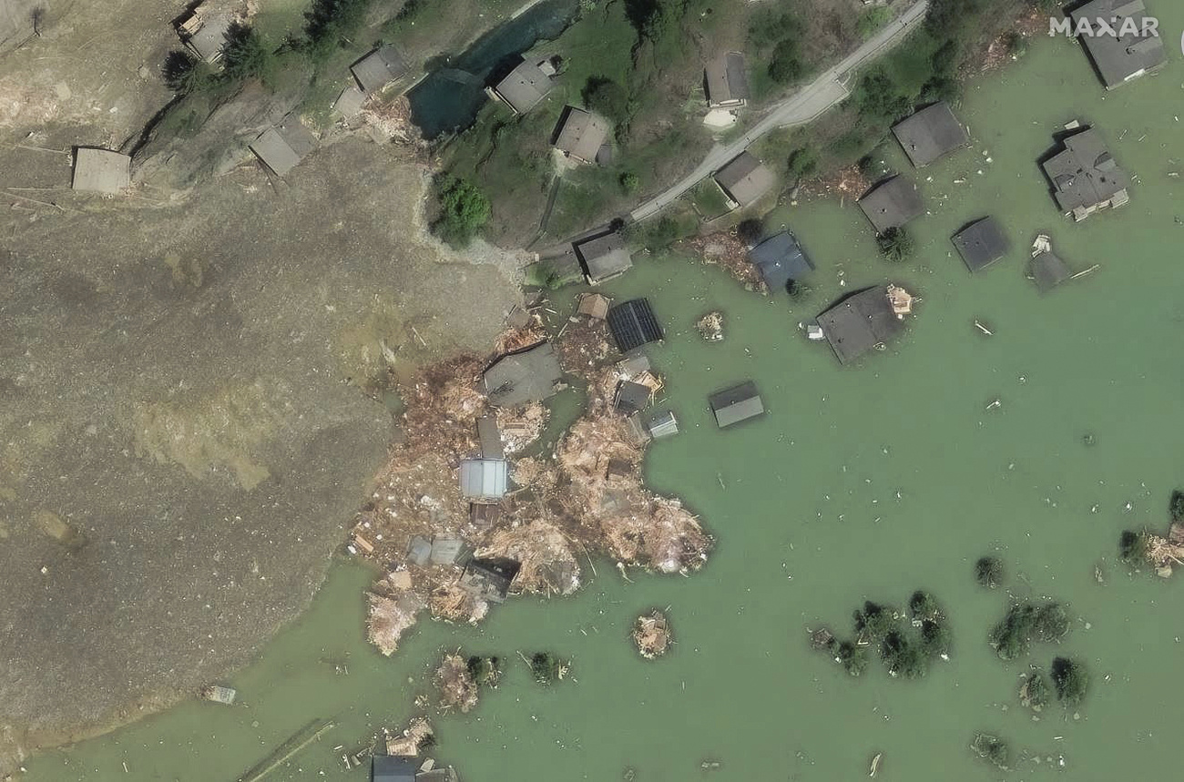
The seven worst landslides in Swiss history
Radar gives more information
Lasers are normally used to detect rock movements. However, radar has an advantage over lasers. “With radar, we can also measure through clouds, which is difficult with lasers,” said Seidel.
The first test flights have been very promising, says the managing director of Swiss Geolab. The test flights were deliberately located in the Lötschental valley. The Oigschtchummun glacier is currently well monitored because it is moving. This allows the researchers to compare the measurements from the radar drones with regular monitoring data.
+ How to protect people and villages from landslides in Switzerland
However, drones are only one element in monitoring the Alpine region. Swiss Geolab also advocates satellite-based surveillance. From space, the entire Alpine region can be regularly observed to detect movement.
“While satellites can cover large areas, they don’t provide detailed views or allow you to see into steep slopes,” said Felix Seidel. However, it’s sufficient to identify areas that warrant closer inspection. “The next step involves deploying a drone to observe a rock face or valley slope.”
The drone could also be used to place sensors in the terrain for even more precise and continuous monitoring of movements.
Researchers want to process all this data using artificial intelligence so that it can be used as easily as possible by the authorities. “The goal is to provide the right person with the data in the right format at the right time so that they can make a decision,” said Felix Seidel. In the coming months, the researchers at Swiss Geolab plan to send more drones to glaciers and scree slopes.
More
More
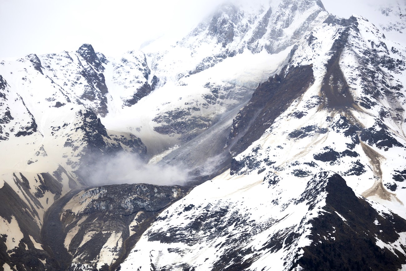
Why do Swiss mountains collapse? It’s complicated
+ How we produce news in English
Translated from German, reviewed by an English Department journalist.


